
A Before You Dig Australia (BYDA) enquiry on a busy street can bring back a dozen PDFs, each drawn a different way. Water, sewer, gas, power and several telcos, all with their own symbols, colours and fine print. It’s no wonder people skim them.
We read BYDA plans on every job before we pick up a locator. Here’s how we read them, and what they can and can’t tell you.
Why do BYDA plans come back in different formats?
Because BYDA doesn’t draw them. Each asset owner sends its own plans directly to you, in its own format, from its own records. BYDA is the referral service in the middle.
That’s why one response is a neat map with a legend, another is a scanned drawing, and another is a letter saying the owner has no assets in your area. Each owner also sends its own conditions, often called a duty of care statement or information pack. Those conditions are part of the response. Read them as carefully as the drawing.
BYDA says printed or digital plans are both fine, provided they’re legible. If you can’t read a plan clearly on your phone, print it.
How do I read a BYDA plan legend?
Start with the legend on every plan, because there’s no single standard across asset owners. Each owner uses its own symbols, line types and abbreviations, and the legend is the key to that owner’s drawing.
The WorkSafe Victoria and Energy Safe Victoria guidebook on working near underground services makes the same point about electricity plans: they may come with a legend that needs to be understood to work out the depths and offsets shown. BYDA’s FAQs say gas pressure details should be on the plan legend or in the information pack.
When we read a legend, we look for:
- What each line type and colour means, including the difference between mains, service connections and abandoned assets
- Symbols for pits, valves, hydrants, joints and marker posts, which help you match the plan to what’s on the ground
- Any notes on pipe size, material, pressure or voltage
- Abbreviations you don’t recognise. If the legend doesn’t explain them, ask the asset owner rather than guessing
If a plan has no legend, or you can’t make sense of it, the owner’s contact details are on your enquiry confirmation sheet.
What does an indicative location mean on a BYDA plan?
It means the line shows roughly where the asset is, not exactly where it is. BYDA’s FAQs say plans are indicative only and don’t pinpoint the exact location of the infrastructure.
The Victorian guidebook puts it this way: BYDA and other “as-installed” plans only give an indication of where services should be located, and they shouldn’t be the only exploration before work starts.
There are good reasons for the gap. BYDA notes that services aren’t laid in straight lines, mainly because of obstacles in the way when they were installed. Kerbs, fences and property boundaries move. Older records have been redrawn and transferred between systems over the years. A line on a plan tells you a service is in the area. It doesn’t tell you where to put the excavator bucket.
What is the scale of BYDA plans and does it matter?
Scale matters because people measure off plans, and that’s where it goes wrong. Even where a plan states a scale, the positions on it are indicative, so measuring from it gives you a precise-looking number for an imprecise position.
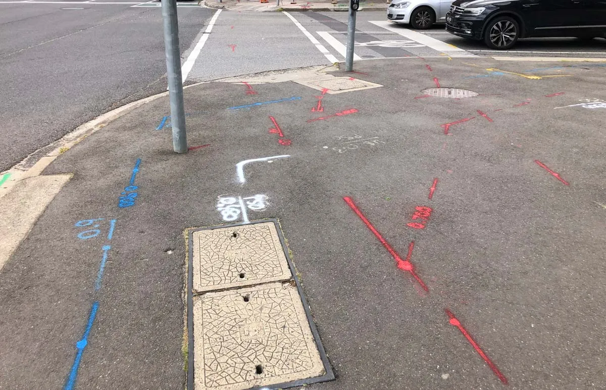
Printing makes it worse. A PDF printed to fit an A4 page, or zoomed on a phone, no longer matches its stated scale. Use the plan to understand what’s there and roughly where. Use a locate to find the actual position, and measure from the marks on the ground, not from the drawing.
Look at the extent of each plan too. Check that it covers your whole work area. If your trench runs past the edge of the plan, that part of the site isn’t covered.
How accurate are BYDA plans, and can I trust the depth shown?
Treat BYDA plans as a guide to what’s there, not an accurate record of where or how deep. BYDA says asset owners can’t record exact depths and alignments, and in most cases depths and alignments aren’t supplied at all.
Where a depth is shown, the Victorian guidebook warns that utility plans may not give the actual depth of the service. Ground levels change when earth is added or removed during road and construction works, so a service laid at one depth may now be shallower or deeper.
How do I know the depth of a pipe from a BYDA plan?
Usually you can’t. A depth on a BYDA plan is at best a record from installation, and most plans don’t have one. Depth has to be measured on site.
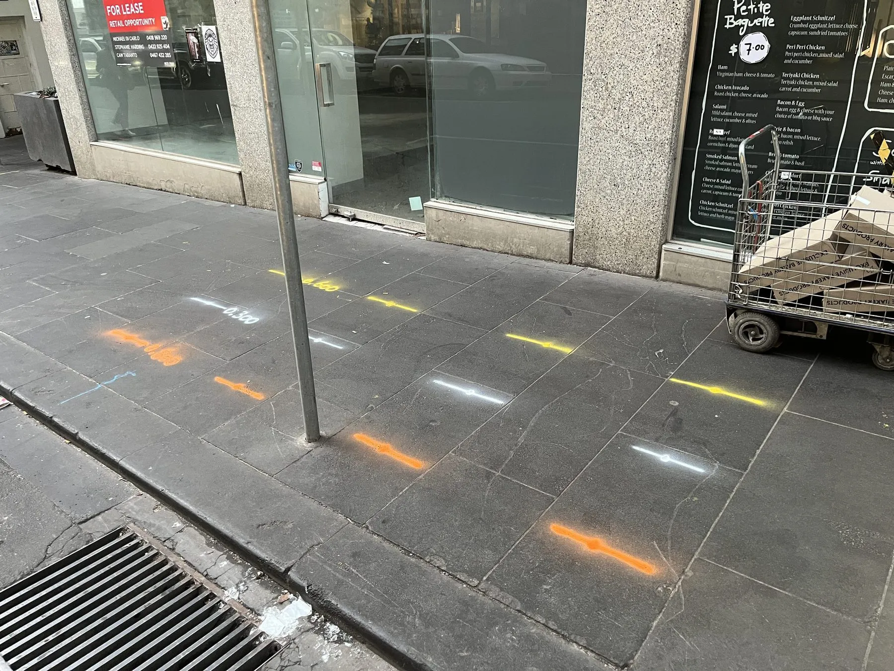
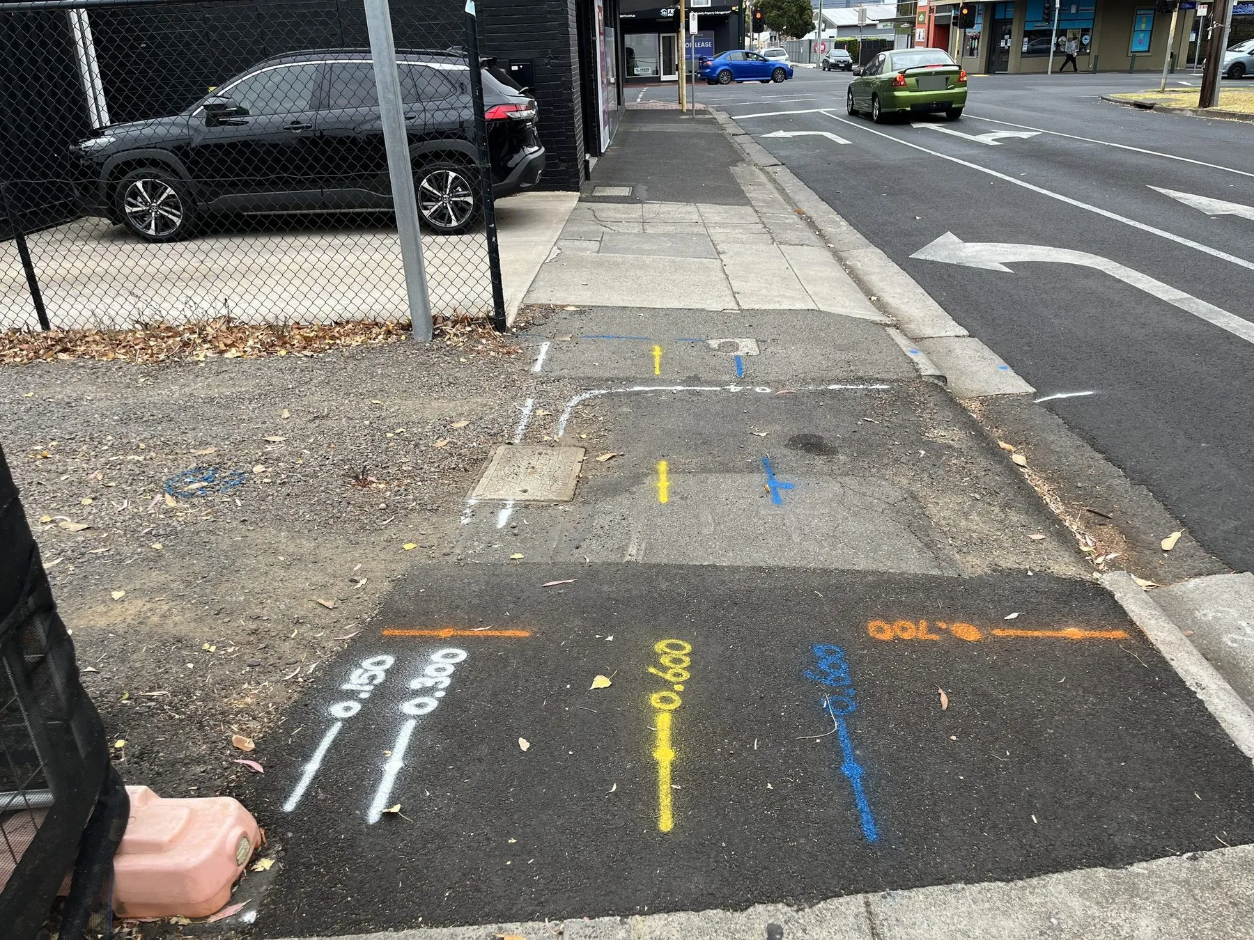
A locator can estimate depth on a traced service with electromagnetic equipment, and we write that depth next to the mark. Where depth is critical, the service should be exposed by potholing, using the method the asset owner specifies, so you can see it and measure it. Our post on EM locating vs GPR vs potholing explains how the methods fit together.
How do I read water main plans from a BYDA response?
Find the mains, then look for the property connections and fittings. Water plans usually show mains along the street with valves, hydrants and other fittings, which give you surface features to line the plan up against.
The Victorian guidebook notes that water authorities keep the records, and that pipe depths vary with age and how much the surface has been rebuilt over the years. Check the legend for pipe size and material. Plastic water pipes can’t be traced electromagnetically unless they carry a tracer wire, which is one reason we also use ground penetrating radar.
How do I read sewer plans from a BYDA response?
Follow the line from maintenance hole to maintenance hole, and look for property branches. Sewer plans typically show the main, its maintenance holes and the property connections, though detail varies between water authorities.
Maintenance hole lids on the surface are your best reference points, because the main usually runs between them. Don’t assume the depth. The Victorian guidebook says major sewer lines are commonly laid deep, but that this shouldn’t be assumed, and rising mains may have less cover. Property connections may also be shown only roughly, or not at all.
How do I read telecommunications plans from a BYDA response?
Expect several of them, and expect no depths. A street may carry cables from more than one carrier, and each sends its own plan, so check you’ve got a response from every telco on your confirmation sheet.
Telco plans usually show pits and the conduit or cable routes between them. The Victorian guidebook notes that the route between pits may not be straight if there were obstructions during installation, and that telecommunications cable depths are not recorded. It also says the accuracy of telco records can only be confirmed by electronic location for cables containing metal, or by manual excavation for optical fibre with no metal.
Read the plans, then find the services
Reading the plans properly tells you what to look for and roughly where. Finding the services is the next step. For that, see BYDA plans arrived: what to check before anyone digs, and if you haven’t lodged yet, start with how to lodge a BYDA enquiry.
If you’d like your BYDA plans checked against the ground, call us or request a callback.